Beyond Limits : Integrate AI-Powered Land Intelligence into Your Workflow
Transform global satellite data into actionable insights with one scalable API.
Empower Systems with Verifiable Ground Truth
Turn complex signals into actionable data to automate land monitoring and eliminate guesswork.
Global & Sensor-less Scale
High Precision Resolution
High-Frequency Updates
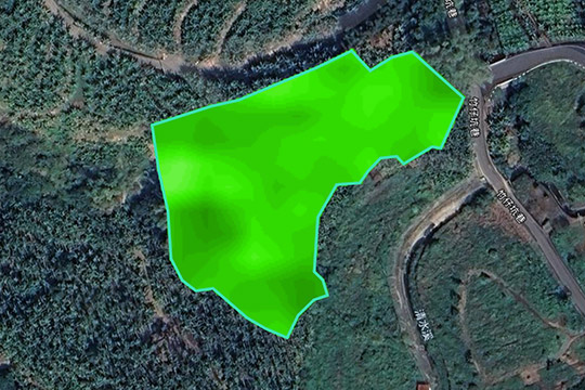
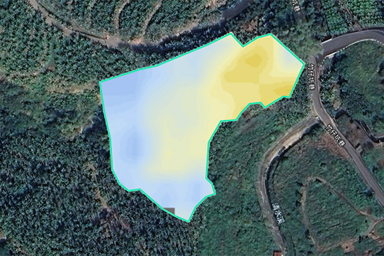
14+ Specialized Indices: Crop Health, Water Stress and Land Potential
FarmiSpace API Reference & User Guide
Farm & Land Management
The foundation of asset digitization
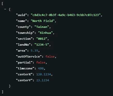
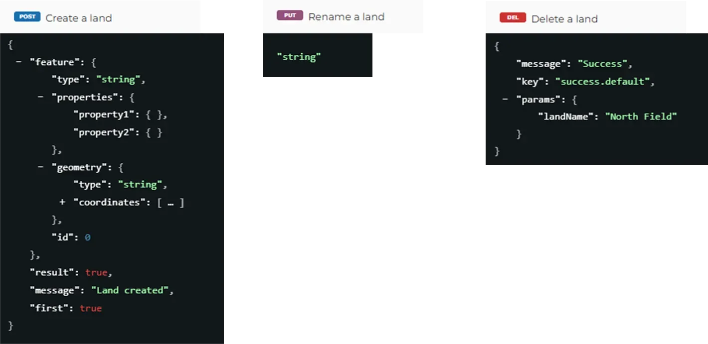
Convert geographic boundaries into standardized data assets, supporting everything from GeoJSON import to lifecycle management.
Key Capabilities :
- Access to spatial metadata for all registered lands.
- Standardized API for land creation, renaming, and deletion.
Indices Data
Quantitative bedrock for decision making
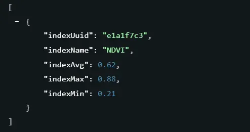
Transform observation frequency into analyzable timelines and statistical matrices to support trend tracking and anomaly detection.
Key Capabilities :
- Observation Timeline : Filter available data dates for specific lands and indices.
- Statistical Matrix : Retrieve Min/Max/Avg values to turn imagery into actionable numbers.
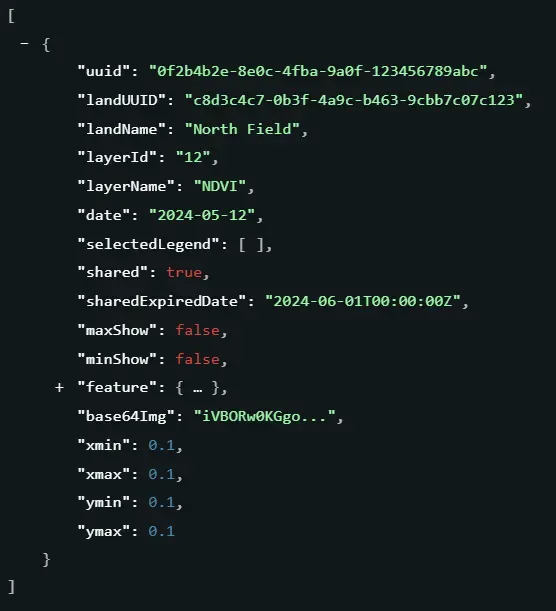
Indices Imagery
The synergy of visual and raw data
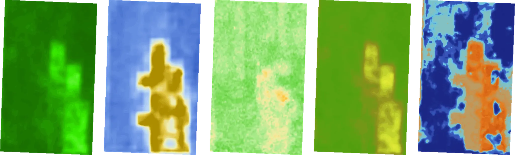
Access 1m x 1m grid resolution for both intuitive display and professional grade analytics.
Key Capabilities :
- Retrieve high-resolution imagery for specific dates and indices.
- Supports both Visual RGB for display and Raw GeoTIFF for raw data analysis.
Trends & Alerts
From monitoring to prediction
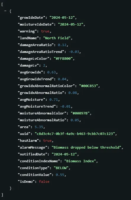
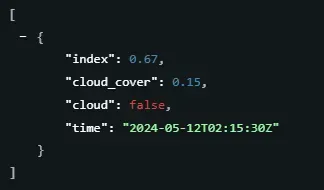
Filter for anomalies and track long-term trends to transform massive data into time-sensitive risk intelligence.
Key Capabilities :
- Smart Alert:Identify fields requiring attention based on the latest alert status.
- Track index trends over a designated date range for time-series analysis.
Field Scouting Notes
Ground-Truth Synchronization
All FarmiTag annotations for lands owned by the account, including note details, photos, and spatial locations.
Key Capabilities :
- Virtual & Real Integration :Sync field notes (FarmiTags) and photos directly onto your digital maps.
- GIS Compatible :Visualize pest issues or growth stages with precise geolocation.
Member & Account
Access control and resource optimization
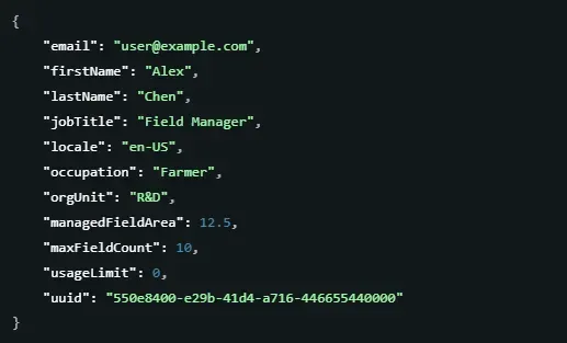
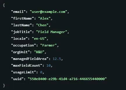
Monitoring of subscriptions and quotas to ensure precise data access for all organization members.
Key Capabilities :
- Quota Monitoring : Monitor profile details, subscription status, and usage quotas.
- Profile Customization : Update member metadata, including job titles, departments, and language settings.
Service Information
The foundation of stable development environment
Sync with standardized parameters for a stable scalable environment.
Key Capabilities :
- The current API service version to confirm the environment status.
- A list of all available indices along with their descriptions and status.
- The full list of crop varieties currently supported by the platform.
Getting Started
Sign Up & Get Your API Key
To ensure secure and seamless integration, an API key is required for all requests. Contact our team to request a trial key and start transforming your land management experience today.