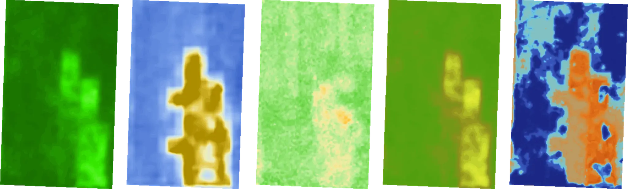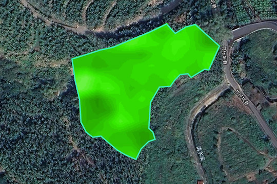
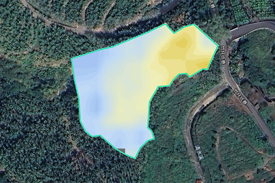
14+ Specialized Indices: Crop Health, Water Stress and Land Potential
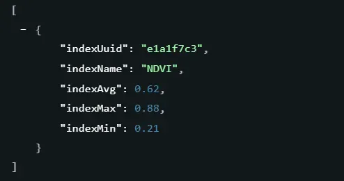
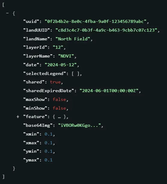
NDVI
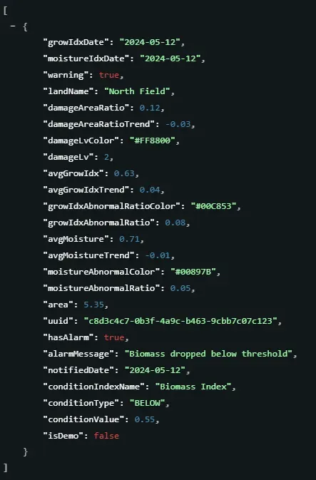
Biomass index
Crop health index
Crop nitrogen index
Crop water content index
Canopy index
Seedling monitoring index
Soil Moisture Index
Soil Moisture at 15 cm Depth (%)
Soil Moisture at 30 cm Depth (%)
Soil Organic Carbon Index
Waterbody index
SOC at 15 cm depth (%)
Forest Stand Volume(m³/ha)